Today I returned to the Finger Lakes Trails, Map 18, to hike the next section. I parked on Old 76 Road and did out-and-backs in both directions. There has been a lot of that lately, and while I prefer a cleaner section break, random turn-around points are becoming necessary more often because my drives are getting longer -- this trailhead is an hour and 20 minute drive from where I drop Frankie off at school at 8 am. This leaves me less and less time to actually hike before I need to rush back to shower before school pick up at 3 pm. The obvious solution would be to hike closer to home, but I will admit that I am completely hooked on the thrill of exploring new trail, extending my line further and further. So I will keep up the madness for now.
Anyway, from Old 76 Road, I first hiked east. The trail followed what looked like an old rutted logging road, but apparently it is an abandoned section of an actual road, McGrath Road, and is actually included on Google maps.
 |
| turkey tail (Trametes versicolor) |
The trail split from the old road near the top of the ridge, and then
descended another muddy track all the way down to the stream that had
been my turnaround point on my hike here
last week.
 |
| previous turnaround point |
 |
| heading back down to Old 76 Road |
 |
| Old 76 Road crossing |
After passing my car on Old 76 Road, I continued west. The trail initially descends to a nice bridge that provides passage over Boyer Creek, then climbs again, soon entering Shindagin Hollow State Forest.
Up on top of the hill, the trail jogs slightly, then follows the edge of a field down to the next road crossing.
 |
| South Road |
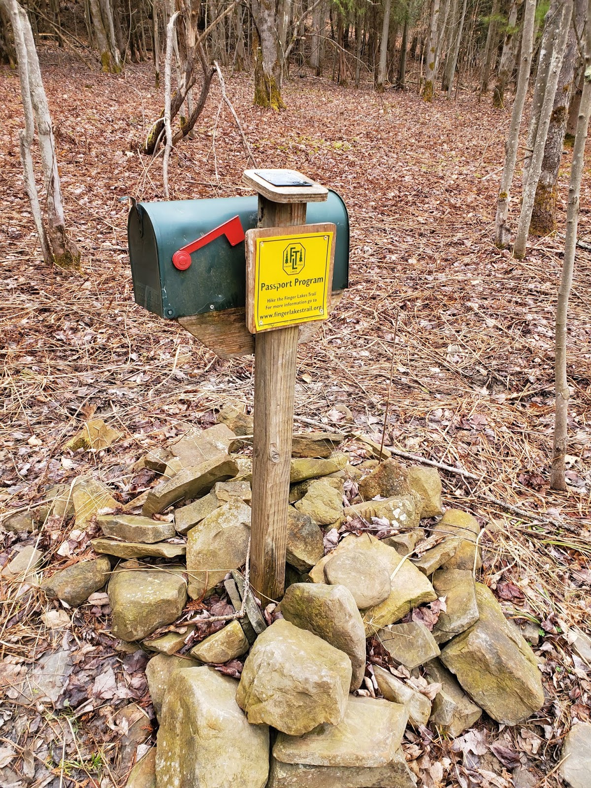
The first section of trail west of South Road is through young hardwoods and cedar, with many interesting rock piles and several trail registers.
Then the forest transitions to mature hemlocks along the creek. Shindagin Lean-To is located just upslope of a beautiful little cascading waterfall -- what a great spot! I was running low on time and decided to use the lean-to as my turnaround point. This would give me a chance to come back for another visit soon.
Then back uphill toward South Road. I broke up the muddy climb by stopping to sign both trail registers, and got a better picture of them this time, too. The Cayuga Trails Club, who maintains these sections I have traversed recently, seems to favor animal carvings on the register boxes. I'm a big fan.
 |
| re-entering the woods after crossing South Road on the way back |
 |
| shining clubmoss (Huperzia lucidula) |
 |
| false hellebore (Veratrum viride) |
MapMyRide tracked this hike at 6.8 miles with approximately 1,300 feet elevation gain. It was a chilly grey day, but no matter. It's always good to be out in the woods.


No comments:
Post a Comment