
Frankie and I had been thwarted on a previous attempt at Goodnow, when the trail and fire tower were both closed due to active maintenance - meteorological equipment was being replaced on the tower, and there were safety concerns about falling objects. So today was a little bit of redemption, the views that much sweeter for having to wait. We did this as a day trip, driving up to Newcomb, hiking, then driving back home. That's a long day, with more time in the car than hiking, but it was totally worth it to scratch this lingering itch. And the views here really are fantastic!
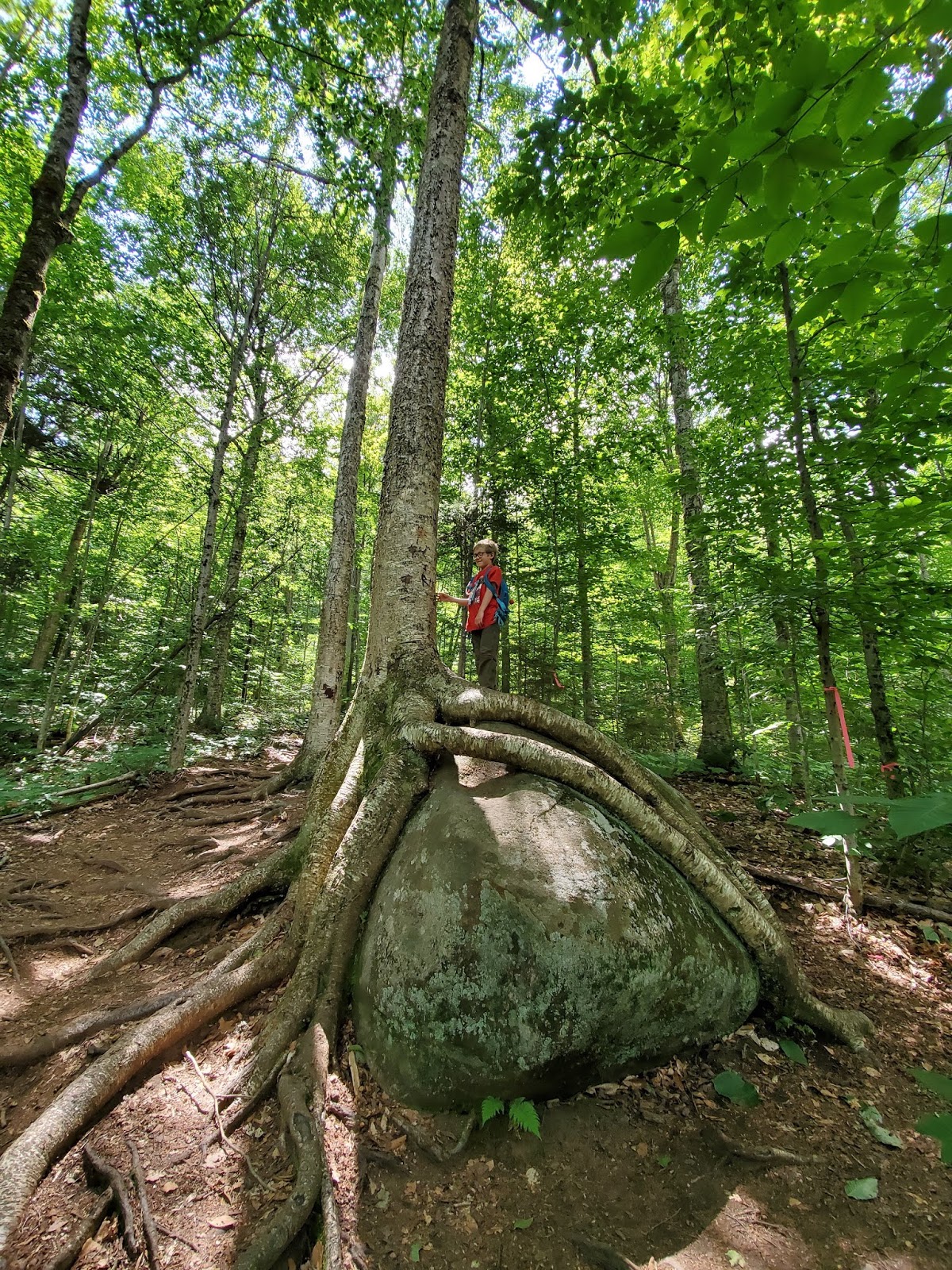
This is a fairly easy hike, as a lot of work has gone into design and maintenance of the trail. Switchbacks ease the grade, drainage structures are in good order, and stairs and bridges provide both function and fun. The trail starts by heading west, roughly parallel to Route 28N, moving slowly uphill and away from it. The sight and sound of the road through the trees is a little distracting at first, but once the trail turns south, 28N is quickly forgotten.


The summit is wooded, a small rocky clearing surrounded by fir trees. The magnificent views are reached by climbing the fire tower. We were fortunate to have the tower to ourselves for a while, and also shared it briefly with two other parties, an older Germanic-speaking couple and a young mother whose toddler was napping down below with dad.


My dear scrawny boy got chilly in the wind, so I pulled out the long-sleeve I'd brought for him and he ate his hummus and vegetables crouched on the floor of the cab, out of the glorious wind. He popped up to enjoy his cookie with the views though, then took some pictures of his own. Or probably mostly videos. I need to download his camera and find out.


When an enormous family arrived and started climbing the tower, we decided we should descend to make space for a few more of them, and headed down. We poked around the summit clearing a bit, finding two benchmarks and picking up small bits of garbage, then started the quick hike back down to the trailhead.


It was great to get away for a quick adventure, just me and my boy. MapMyRide tracked the hike at 4.2 miles roundtrip, with nearly 900 feet elevation, but like I said, it felt pretty easy. We stopped at Long Lake for milkshakes at Stewart's and then homeward. We even made it home for dinner.
No comments:
Post a Comment