
Since acknowledging to myself that I seem to be section hiking the Finger Lakes Trail (FLT), I have been hiking many of the shorter roadwalks along the way when hiking the adjacent sections of trail. However, I have still been orphaning longer roadwalks, with the intent to come back for them during hunting season. I still go in the woods during bow season, but once rifle season starts, I steer clear. Unfortunately, I never made it out to my saved mop-up sections this year. So even though hunting season is over now and I should rightfully be back in the woods, I fell asleep on the couch last night very early, before I was able to plan a suitable destination for today. Leery of the questionable conditions I'd find on the seasonal roads in the area of my last FLT hikes, but still wanting to get some FLT miles, I decided to knock out two roadwalks. They would not provide the same joy as being in the woods, but I would get the satisfaction of completing Map M17.
I started the first roadwalk at the designated parking area for the Sweedler Preserve. I had hiked the gorgeous trail west of here a few years back with Erwin and Frankie. Today I walked south along Townline Road, which is is uphill pretty much the entire way to my turnaround point at the intersection of Layen Road. The trailhead there is where Frankie and I parked for the start of an FLT hike this past summer that traversed private land.


When I got to the Layen Road trailhead, I couldn't resist continuing down the trail a bit, just to enjoy some actual hiking. It is not the most exciting section, following an abandoned section of farm lane or logging road rather than single track, but still, is closed to cars and thereby much nicer than Townline Road. I only hiked perhaps 0.4 miles to Hilltop Road before turning back, because I had another roadwalk I wanted to allow time for before driving home for school pick up, but it was an enjoyable jaunt nevertheless. 


There is a view to the west from the end of Hilltop Road (above image) that helped make that a suitable turnaround spot. From there I retraced my steps the way I came, for a total out-and-back of 4.0 miles with just over 400 feet of elevation gain.


Once back at my car, I drove south a few miles to Comfort Road, which the FLT follows for approximately 1 mile between two trailheads that I used for two short hikes back in September. I would have liked to just hike this at that time, making the two shorter hikes one longer hike, but I wouldn't have made it back in time for school pick up, so I skipped the roadwalk, knowing I'd be back for the Townline Road section and could get it then. The northern of the two trailheads leads west onto private land (image immediately below). There was a gorgeous dusting of snow coating every surface up here and it was pretty magical for a roadwalk (cover image). 


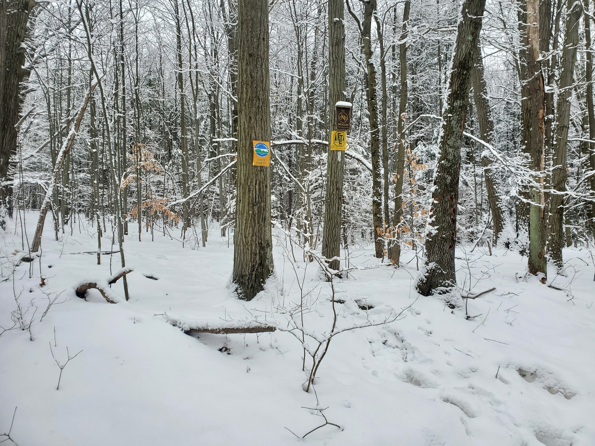
At the southern trailhead, which leads east into Danby State Forest, I again couldn't resist hiking a short distance down the FLT, here an actual single track. Obviously this is where my heart lies. However, I had to turn back before going far. Luckily I hiked this section before, or it would have been even more painful turning back. 

This second roadwalk was 2.0 miles roundtrip, with less than 100 feet elevation gain. Neither roadwalk was particularly thrilling in of itself, but I was very happy to add M17 to my list of completed FLT map sheets. This list also includes M18, M19, M20, M21, M22, O1, and O2. Not a big list, but very satisfying all the same!
No comments:
Post a Comment