
I had planned on resuming my eastbound exploration on the Finger Lakes Trail (FLT) where I left off last time on Basswood Road, but when I arrived, I wasn't crazy about the narrow width of the available roadside parking. Since the trail follows the road east from here, I decided to keep driving to see if I could find a safer parking spot. As a rolled along, the notion of hiking the roadwalk in the boiling sun seemed less and less appealing. There were more houses and more terrain than I expected; it would feel like an extra hot and sweaty neighborhood walk. So I kept driving. When I got to the spot on Brooksbank Road where the FLT leaves the road and enters the forest, the parking was manageable so I stopped here -- and then I entered the forest. Ahhh! I will have come back for that roadwalk during hunting season. Today was a day for shade.
Relieved to have spared myself the roadwalk for now, I set off cheerfully through the hardwood forest. The trail initially climbs a gentle hill and passes through a gap in an impressively large old stone wall, then descends again to cross Shapley Brook.
 |
| trailhead on Brooksbank Road |


The FLT mapping shows an alternate highwater route that makes use of the bridge on nearby Puckerville Road, suggesting that the Shapley Brook crossing must be tricky sometimes, but it was easy enough today. Summer conditions are definitely here.
 |
| Shapley Brook |

After crossing Shapley Brook, the trail climbs again, and while mouth-breathing somewhere in the section, I inhaled a bug. Probably just a blackfly, but the resulting involuntary hacking slowed me down quite a bit until I got my lungs back under control. Bad enough to eat a bug by mistake, but at least they go down that tube. [Note to self: bugs are not for breathing.]
 |
| false hellebore (Veratrum viride) |


After passing through a gorgeous little section of forested swamp, the trail continues climbing, then pops out briefly onto Crouch Road. The FLT follows the road northeast for perhaps 400 feet, then continues east through the forest.


The first 2.6 miles of this hike were within Basswood State Forest, after which the FLT crosses onto private land and skirts the edges of two hayfields, keeping to the ferny hardwoods alongside.


At around 3.4 miles, the trail re-enters state forest land, this time Wiley Brook State Forest, and passes through red pine plantations before reaching Shapley Road -- my turnaround point. From here, I simply retraced my steps back to the car.
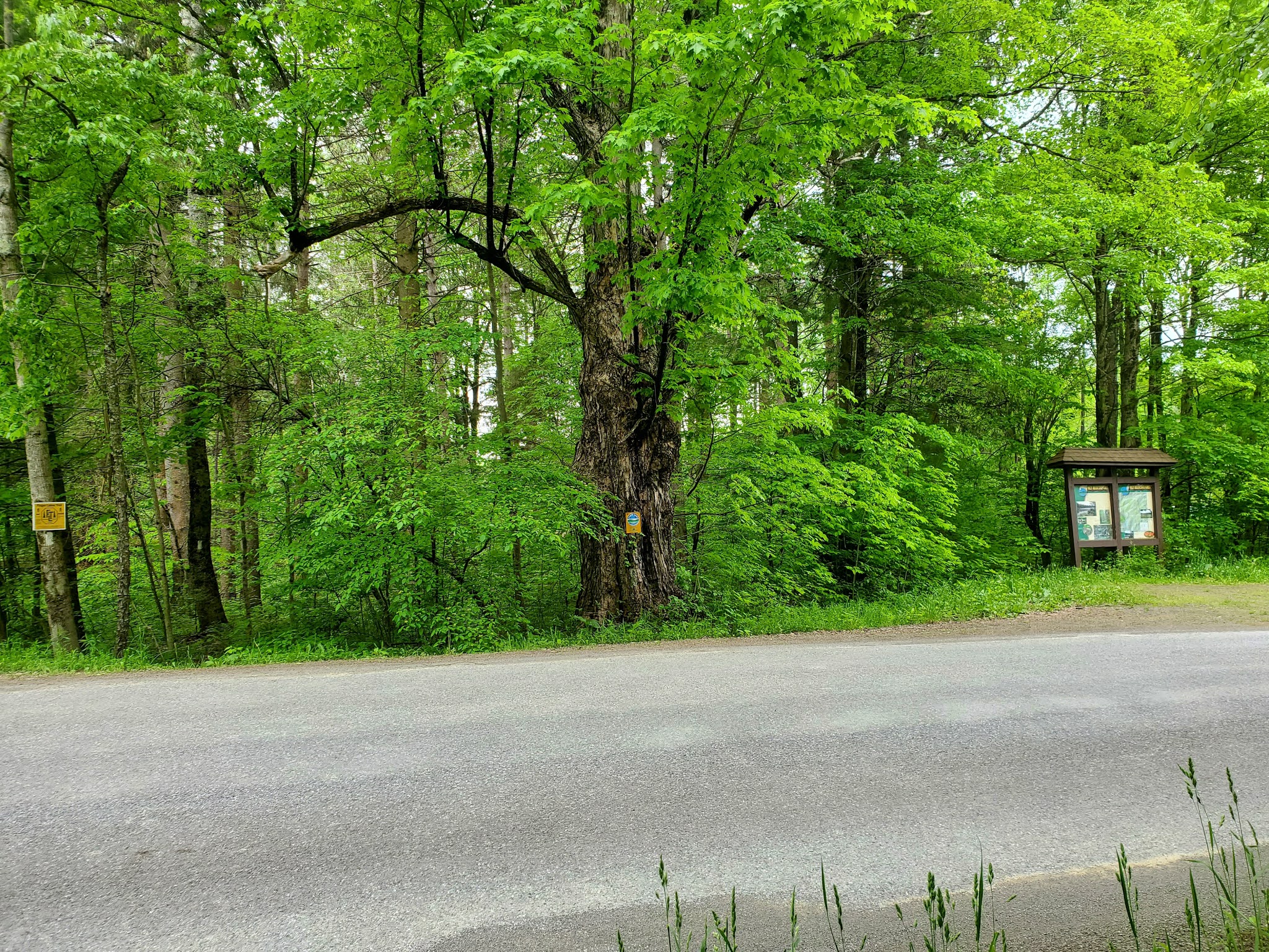 |
| parking area and kiosk along Shapley Road |
 |
| looking east along Shapley Road |


 |
| trail turning back in the woods off Crouch Road |


 |
| marshy area approaching Shapley Brook |
 |
| dame's rocket (Hesperis matronalis) |


MapMyRide tracked this out-and-back hike at 8.2 miles roundtrip with approximately 670 feet elevation gain. Skipping the roadwalk was the right choice for me today, in that it allowed me to focus on the joy of the forest and reach my goal turnaround point in time to make it back for school pick up.
No comments:
Post a Comment