On this hike I traversed the Finger Lakes Trail (FLT) between Elmer Jackson Road and Nine Mile DEC Truck Trail, filling in a gap between two previously hiked segments. However, because I wasn't crazy about the parking available at either of those locations, I started my adventure in the middle, at the small parking area off Fred Stewart Road. The FLT online mapping indicated there was "pull off parking for 5 vehicles" which seemed safer than shoulder parking on seasonal dirt roads. This meant I hiked a yo-yo of sorts, hiking north to the spot on Elmer Jackson Road where I'd turned around last week, then turning around and hiking south past my parked car to the spot on Nine Mile DEC Truck Trail where I'd turned around snowshoeing in March, then back north again to my car. Whatever it takes...
Conditions were wet and chilly, with misty rain and temperatures right around freezing. I remembered a visor to keep my glasses dry, but they eventually fogged up anyway because I tend to overheat easily in a raincoat, even with the pit vents fully unzipped. But I'm getting ahead of myself: I could see fine initially.
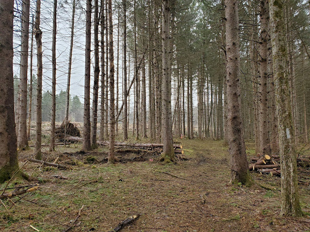
After crossing the small brook in the above photo, the trail approaches and then follows along the southern edge of a clearcut. This section of the FLT passes through Pharsalia Woods State Forest, and judging by the visible logging equipment, this appears to be an active operation, although no one was working in today's foul weather. When the trail turns north, it enters a narrow strip of trees left behind when the Norway spruce plantation was cleared on both sides. This treed corridor certainly makes the trail more pleasant for now, but I wonder if these few standing trees will be more vulnerable to blowdown in the future without the protection of their neighbors.
 |
| looking east at the Center Road crossing |
As I left the clearcut area and re-entered the forest, I began to notice that everything was covered in ice. It looked like water dripping but was frozen solid. I wondered if driving home was going to be treacherous, but the roads weren't slippery driving here so I decided not to worry about it.
 |
| looking east at the Route 23 crossing |
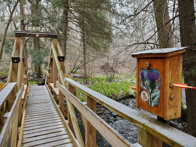
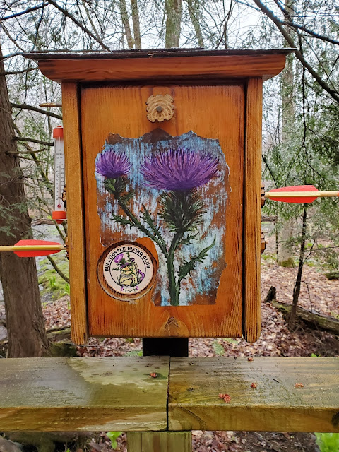
Route 23 is a wide corridor, and although traffic volume was low, I could easily hear a few big trucks as I descended the hill approaching it. I lurked in the shrubbery until the coast was clear and scampered across. The trail continues descending until reaching Canasawacta Creek, which is spanned by the stunning Bullthistle Bridge, named for the local hiking club that maintains this section of trail and presumably built this gorgeous structure. I was agog at the beauty of this bridge, which is ornamented with many fun details, and loitered in the rain admiring it for some time. Happy hiking indeed!
Once on the other side of the creek, the trail crosses through a small floodplain area before ascending the slope on the other side. More hiking through ice crusted forest: every twig I brushed rattled and clattered.
 |
| false hellebore (Veratrum viride) |
Eventually the trail straightens and follows a stone wall due north. The yellow paint in the photo below is not the trail blazing, which is white, but the property marking designating the edge of the state forest land. At the northern edge of this property, the trail turns due east and follows that edge out to Elmer Jackson Road. I took a small detour to the north (on state land) because I could see the same water feature through the trees that I had detoured to see last week. From this vantage point, the beaver activity was even more evident. Around this time, the misty rain starting transitioning to graupel, which eventually became snow.
The FLT follows Elmer Jackson Road north for 0.1 before re-entering the forest and continuing east, so I made the quick jaunt up and back to reach the point I'd turned around last week.
 |
| hiking north on Elmer Jackson Road |
 |
| the trailhead where I emerged from and turned around last week |
 |
| the trailhead I emerged from and re-entered today |
I was fascinated to see that this tiny bird's nest I found on the ground appeared to be constructed mostly of rootlets. The birds must have collected them from tip up mounds, right? Nature is just SO freaking cool!
Shortly after the stone wall pictures above, I passed my car and continued south. The snow was obviously sticking by now. Definitely not the best day for wildflower viewing, although not much appeared to be blooming yet down here anyway. This section of trail passes through mature hardwoods for a while, then enters an older clearcut that is regenerating with dense regrowth of shrubby trees.
 |
| What is the significance of this date? Clearcut initiated or completed? |
After the clearcut, the trail enters a mature hemlock forest and then comes out on Nine Mile DEC Truck Trail, the western of two crossings of the seasonal dirt road labeled Old CCC Truck Trail on the FLT mapping. I hiked a few hundred feet on the road to where the trail re-enters the woods, where I had turned around last month in the snow. It looked very different today!
 |
| hiking east on Nine Mile DEC Truck Trail |
 |
| the trailhead where I emerged and turned around in March |
 |
| dwarf ginseng (Panax trifolius) |
MapMyRide tracked this hike at 6.7 miles roundtrip with about 460 feet elevation gain. The terrain in this area continues to be easier than further west, with less elevation gain. I knew this was going to be a shorter hike and had planned a brief stop at another state forest on the way home, but decided to skip that stop because of the deteriorating weather.
I made an interesting discovery related to my mental grumbling about the roadwalk on Elmer Jackson Road last week: it is actually a fantastic improvement over the old trail route! See, like the outdated map on the Pharsalia Wildlife Management Area kiosk last week, the map at the website for Pharsalia Woods State Forest is outdated -- neither reflect the current FLT route (always refer to the FLT website for the most up to date trail conditions and mapping). Anyway, this old map shows that the blue-blazed spur trail running from that footbridge along Elmer Jackson Road used to be the main trail; it leads out to a trailhead on Grover Brown Road. From there, the FLT used to consist of a roadwalk of perhaps 1.7 or 1.8 miles, which included a section on State Route 23, before re-entering the forest where I parked today along Fred Stewart Road. I still would like to see the trail moved off Elmer Jackson Road eventually and into the
adjacent state land, but I would also like to commend the FLT Conference and the Bullthistle Hiking Club for the improvements already made. Well done!


No comments:
Post a Comment