With my last two hikes, I completed the orphaned gap in my eastbound Finger Lakes Trail (FLT) coverage, which was left back in March when I skipped forward to ensure safe parking in deep snow conditions. This means I have now hiked the entire contiguous length of the FLT between the Stevenson Forest Preserve west of Ithaca to the southern edge of Pharsalia Woods State Forest. There is something very satisfying about hiking consecutive segments of the FLT, so that even though I am section hiking as opposed to thru hiking, I get a sense of the flow of the trail. Having said that, I skipped ahead again on today's hike. About 2 miles east of where I left off in March, the FLT passes Berry Hill Fire Tower, which is accessed from a roadwalk along Tower Road via a short deadend road (essentially a long driveway). Frankie absolutely loves fire towers, so I decided to save that hike to do together. The fire tower is currently undergoing restoration, so we will wait until it is reopened and hike Bowman Lake State Park together. I'll pick up the roadwalk solo during hunting season.
That means that for today's hike, I started at the turn on Bliven Sherman Road where the FLT mapping indicated wide shoulder parking, and headed south. The first section of single track is technically still within Bowman Lake State Park, but it is outside the developed area and indistinguishable from McDonough State Forest, into which the trail soon crosses. The trail gently descends here to the crossing of Bowman Creek, then ascends gently back up to Bowman Road.
 |
trailhead on Bliven Sherman Road
|

 |
Bowman Creek
|
The trail follows Bowman Road south for roughly 3/4 of a mile, then crosses State Route 220 at the tiny hamlet of East McDonough. After crossing through a small playground, the FLT picks up another old narrow dirt road that is apparently nameless. For a while it is simply somewhat muddy, but after passing a mailbox and then a trail register, conditions deteriorate into huge wallows of goop and standing water. This is what happens on multi-use trails where motorized vehicles are permitted. I was thrilled when the FLT abandoned the muddy track just after the crossing of Shortcut Road.
 |
hiking south on Bowman Road
|
 |
this road is labeled "Finger Lakes Trail" on all available mapping, including Google Maps
|
 |
red trillium (Trillium erectum)
|
 |
finally: single track leaving the mucky multi-use trail behind
|
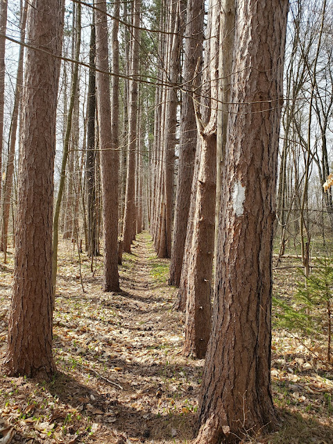
Even though I'd seen not a single vehicle along either dirt road, I was beginning to question my choice of routes. Spring is a time when I want to be IN the forest -- the plants are waking up and I want to SEE them, up close and personal. Of course I am continually scanning the adjacent woods as I walk along roads, but it is not the same. This hike was redeemed by the portion south of Shortcut Road: single track through the forest to the Chestnut Road crossing, then more single track to my turnaround point at Hoben Road.
 |
approaching the Chestnut Road crossing
|
 |
looking east along Chestnut Road
|
 |
| looking east along Hoben Road, my turnaround point |
 |
salamander eggs
|
 |
juneberry (Amelanchier spp.)
|
 |
sessile-leaved bellwort (Uvularia sessilifolia)
|
 |
looking east at the Shortcut Road crossing
|
 |
heartwarming sign at the house closest to trail along State Route 220
|
 |
the trail goes through this tiny playground at the corner of 220 and Corbin Road
|
 |
looking north along Bowman Road where the trail re-enters the woods
|
MapMyRide tracked this out-and-back hike at 7.8 miles roundtrip, with approximately 685 feet elevation gain. I'm so excited to be out exploring new territory!


No comments:
Post a Comment