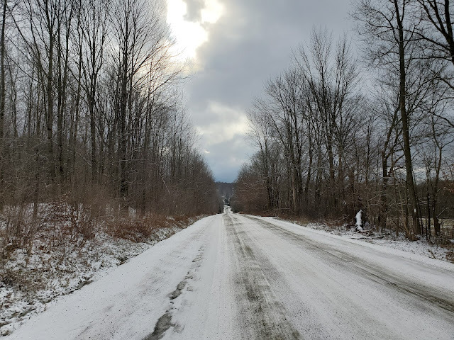
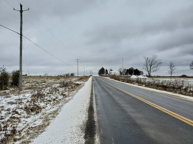
For the second stop in my two-part adventure, I parked at the corner of Fred Stewart and Hoag-Childes Roads, at the trailhead I used last March when I explored the Finger Lakes Trail (FLT) to the north in deep snow conditions. Today I walked south along Fred Stewart Road to complete the roadwalk I'd skipped, turning left (east) onto County Route 10, and then right (south again) onto North Tower Road. I continued south on North Tower Road until I reached the trailhead where I'd parked last month when hiking the FLT through Bowman Lake State Park. With the gap filled, I turned around and retraced my steps back to the car.
 |
| intersection of Fred Stewart Road and Hoag-Childes Road |
 |
| heading south on Fred Stewart Road |
 |
| heading east on County Route 10 |
 |
| approaching the right turn onto North Tower Road |
 |
| looking west at the Berry Hill fire tower |
 |
| heading south on North Tower Road |
 |
| heading south on North Tower Road |
 |
| my turnaround point |
 |
| the only color on an overcast day |
 |
| double blazes marking the turn back on County Route 10 |
 |
| heading west on County Route 10 |
 |
| approaching the right turn onto Fred Stewart Road |
 |
| almost back to the trailhead where I started |
GaiaGPS tracked this out-and-back at 4 miles roundtrip with 220 feet elevation gain. The portions on Fred Stewart Road and County Route 10 are part of M23, while the North Tower Road portion is part of M24. This roadwalk was significant for me because it completed the last sections I needed on both M23 and M24, meaning I have now hiked all of M17 through M24 (and O1 and O2). Very exciting! Also, I need just one more outing to complete M16, so I hope to hit that up next week.


No comments:
Post a Comment