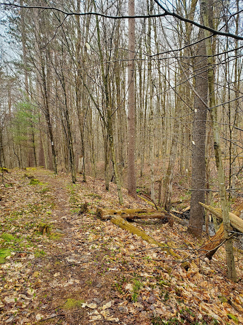
For this Finger Lakes Trail (FLT) hike, I skipped ahead a bit, because there is a lot of road-walking after the spot I left off on my last eastbound hike. Spring is a time for me to be in the forest, not on the roads, so this seemed like a good solution. I will return for those skipped sections another time. I started on Getter Hill Road where the FLT leaves the road, turning back when I reached Beals Pond Road. I varied my route slightly on the return hike, to venture to the top of an unnamed hill the FLT climbs most of the way up. It only seemed fair! This was easy going because the FLT used to run that way - my entire diversion was on old trail. It is no longer maintained, with the blazes painted over, so there is more blowdown than active sections. I had no concerns about staying within the trail easement because the old trail is entirely within Beal Pond State Forest.
It was variously raining or at least misting pretty much all day. I started out wearing a raincoat, but eventually removed it. Temperatures were in the 50s, which is too warm for me to be comfortable hiking up hills in a raincoat. I had a dry shirt in the car for the ride home (and extra layers in my pack for emergency purposes). I'd rather be wet from rain than miserably overheated and wet from sweat. I would have been cold if I stopped, but with the long drive to get there, I had no time for that.
 |
| eastern newt (Notophthalmus viridescens) |
The trail passes along the east side of hay field with views down into a valley. At the south end of the field, there is a junction with a blue blazed spur trail, presumably for additional access. I stuck to the main trail and did not explore the spur. A short distance later, the trail circumvents an area flooded by beavers, then begins the slow descent to Beals Pond Road.
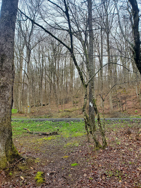
The online FLT mapping shows no road crossings on this hike until my planned turnaround point, so upon approach I assumed the road in the picture below was Beals Pond Road. However, I could see the larger Beals Pond Road through the trees, so I'm not sure what this was. Maybe it is a driveway or access road to nearby private land?
 |
| approaching Beals Pond Road |
 |
| looking southeast along Beals Pond Road |
 |
| looking northwest along Beals Pond Road |
After checking out the parking situation on Beals Pond Road (good) for my return to this area to hike the next section, I turned around and headed back. It was raining even harder when I passes by the field viewpoint.
 |
| looking north along Getter Hill Road |
GaiaGPS tracked this out-and-back at 7.5 miles roundtrip with 1,164 feet elevation gain. This was my first foray onto Map Sheet M27, and was definitely a stretch for making it back for school pick up. I went straight to the school with no time to go home and shower first. I got there, though, so it worked out just fine in the end. I will have to start selecting shorter hikes soon if I'm to keep driving further and further away.


No comments:
Post a Comment