This hike would take me through Watkins Glen State Park, but not the gorge trail for which the park is famous. The Finger Lakes Trail (FLT) follows the south rim of the gorge, high above the dramatic chutes and cascades. At least in part, this is because the gorge trail is closed for much of the year. It was closed today, in fact, due to "winter conditions." Now, we did get snow last week, but it melted very quickly. I could see down in the gorge and there was no snow or ice evident, but many years the trail doesn't open until well into May. No matter! Today I was here for the FLT.
Because the section of trail in the park up to next road crossing was fairly short, I decided to include the roadwalk through the village of Watkins Glen. I started in Lakeside Park, through which I'd hiked last fall after
Excelsior Glen, and immediately crossed the canal bridge on Route 414. I continued west on the sidewalks until reaching LaFayette Park, a small green space surrounded by houses and festooned with an FLT kiosk complete with trail maps and Trail Town signage. From here the FLT follows North Decatur Street south to Tenth Street, which carries the trail west for two blocks past enormous parking lots to the entrance of the park. The FLT does not use the main park entrance; turn south here and cross Glen Creek over the automobile bridge, then turn right on Old Corning Road. At the bend in the road, the trail finally leaves the pavement behind and ascends a new wooden staircase to start the climb up to the rim.

 |
heading west on Route 414 over the Barge Canal
|
 |
LaFayette Park -- note the double blazes marking the left turn
|
 |
crossing Glen Creek on the auto bridge
|
 |
new staircase leading off road
|
 |
looking down at the main entrance area from the FLT on the south rim
|
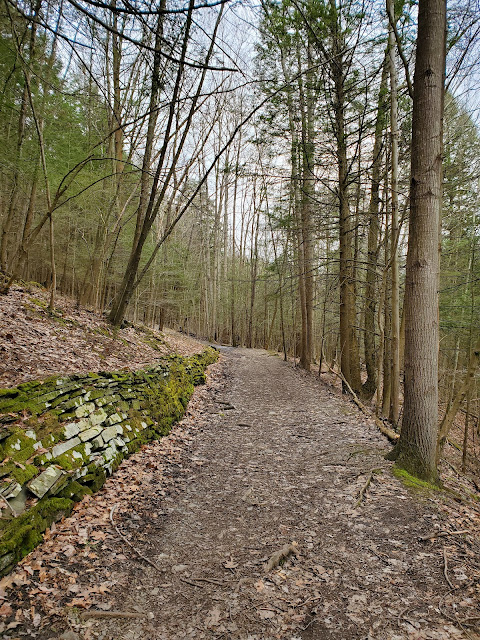
I will admit I was a little disappointed at how wide and road-like much of the trail through the park is. The state and county parks seem unable to resist the allure of maintenance via huge motorized tractors and trucks. I suspect this particular park leans on visitor safety as a reason, as well. This park is very popular and many visitors are not experienced hikers or outdoors people. I suspect such casual visitors disregard danger signs and get themselves stuck in precarious situations with regularity, and vehicle access probably makes rescue operations easier. Whatever the reason, narrow footpaths are a nicer hiking experience. Also: the chain link fencing is not attractive. Mercifully it eventually disappears.
 |
red trillium (Trillium erectum)
|
Approximately 1.3 miles after entering the park, the FLT passes under a railroad bridge operated by Norfolk Southern Railway, also shown in the cover image. The trail continues west from here, with the height of the gorge diminishing. There are many small ups and down as the trail moves through small drainages that feed into Glen Creek. At one point the creek is dammed, making a small pond-like impoundment alongside which the park has constructed a large pavilion for picnicking.
After passing through the day use area, the trail continues through the forest along Glen Creek, then passes under a power line and joins Punch Bowl Road, which is mostly closed to traffic, but serves a park maintenance/storage area. The FLT then turn right onto Whites Hollow Road, which was my planned turnaround point. Before heading back, I walked the roughly 500 feet west along Whites Hollow Road to where the trail re-enters the forest so I can just park there and go on my next hike in this area.
 |
American fly honeysuckle (Lonicera canadensis)
|
 |
Punch Bowl Road
|
 |
right turn onto Whites Hollow Road
|
 |
my turnaround point
|
When I got back to the railway bridge, I couldn't resist clambering up the embankment to check out the top side. I was surprised to see the inviting pedestrian section, but the area was well posted against access so I fought temptation and did not go out on the bridge. My time constraints contributed to my good decision making, too. It's quite a long drive to get down here and back by school pick up.
 |
looking north across the gorge
|
 |
looking south
|
GaiaGPS tracked this out-and-back at 7.6 miles roundtrip with approximately 800 feet elevation gain. A hike through a town and on wide access road "trails" will never be my favorite, but I still enjoyed exploring new territory and being outside. I've been to Watkins Glen State Park before, but I'd only previously hiked the gorge and north rim trails. The FLT along the south rim was a much quieter experience: I saw only three other hikers, two of whom stayed right near the entrance. Much of the roadwalk through town is on FLT map sheet M15; from the big parking lot and auto bridge over Glen Creek west through the park is on map sheet M14.


No comments:
Post a Comment