Shenandoah National Park is the first stop on our road trip south. Like our mid-west road trip last month, this journey was also designed around visiting one of Frankie's grandmothers: in this case Erwin's mom, who we hadn't seen since before COVID. We wanted Frankie to get to see his grandmother without the risk of flying. It is quite a long drive to her house in South Carolina, so to break up the driving, we planned one big stop on each the drive down and the drive back. This would make the trip more manageable and enjoyable -- plus we'd get to see some really cool new places along the way! The halfway point on the drive south is in Virginia, making Shenandoah an obvious on-the-way destination. We booked lodging at the park concession at Skyland, and focused hike selection to the central portion of the park. Marys Rock looked pretty amazing.
However, neither of the approaches recommended
by the park service (via Thornton Gap or the Meadow Spring Trail) really "clicked" for me. I
thought it would be more fun to start at the Pinnacles Picnic area.
This trailhead is located further south of the others, thereby providing a longer approach on the Appalachian Trail and more
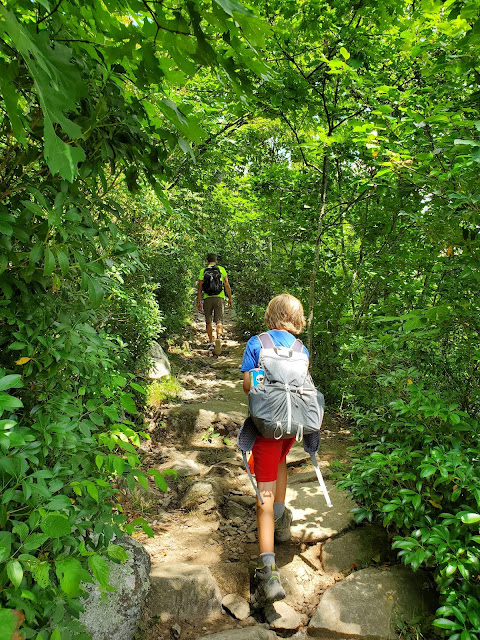
time up on that glorious ridgeline. The parking area was completely empty when we arrived, which seemed a bit odd, but correctly indicated that the trail would not be busy -- and indeed, we saw very few other hikes until the approach to the Marys Rock summit.
 |
| starry campion (Silene stellata) |
 |
| open area beneath the Jewell Hollow overlook |
The trail starts out flat, then dips down to skirt below Jewell Hollow overlook before climbing several hundred feet up to the Pinnacle. This rocky outcrop along the west side of the trail is not signed or called out on park service mapping, but is labeled "The Pinnacle" on USGS mapping. It is definitely worth a quick stop, affording fabulous views down into the valley and north along the ridgeline toward Marys Rock. In the photo below, Marys Rock is the mountain in the midground, left of center, with the little bump on the top -- the summit. Let's go!
Moving past the Pinnacle, the trail is again flat for a bit, then descends nearly 500 feet to Byrds Nest #3 Shelter, the lowest spot on this hike. The area around the shelter was thick with wildflowers and there were many butterflies enjoying the nectar.
 | ||
| Turk's cap lily (Lilium superbum) |
Back to hiking, there are more flat ridge walks and more sections of
climbing, more rocky ledges with amazing views out. This hike is so fun!
 |
| tall bellflower (Campanula americana) |
The final approach to the summit is not on the Appalachian Trail, but a
short spur trail (above photo). When we arrived at the summit area, the apparent high
point was occupied. We found a lower ledge on which to eat our sandwiches and awaited a turn up top.
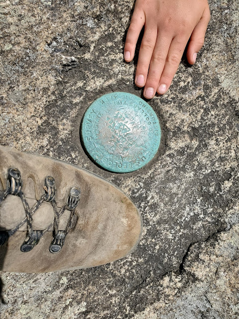
When we finally got up to the apparent high point, I was surprised not to find a benchmark; I'd seen the symbol on the USGS map, so was looking for it. We checked out a herd path to the right of the summit area, but found nothing there. Erwin mentioned he thought he'd seen another herd path further down the approach trail, so we started heading down, still obsessing over the benchmark. This also lead nowhere, so we climbed back up to the main summit area to look around some more -- and we eventually found all three! From the obvious apparent high point visible end of the trail, there is a patch of trees, then more rocky outcrops. The benchmarks are spread out over these rock spines, which are quite narrow in places.
My obsessive quest to find the benchmarks added a bunch of extra time (and mileage going back and forth looking) but was totally worth it. The views were dramatic looking back to the south, and this area was much less crowded than the actual summit. We bushwhacked back to the spur trail, then rejoined the Appalachian Trail and returned the way we came.
 |
| the elevated privy at the Byrd's Nest #3 shelter |
The biggest climb of the day was the ascent back up the Pinnacle, so we stopped again for another quick break once we got there, enjoying the breeze and the views once more. Frankie wanted to trail run the last section from the Pinnacle back to the parking lot, so Erwin and I did our best to keep up. I was fine running until we got past Jewell Howell overlook, but I walked the last uphill portion. I was not in a rush for this hike to end.
MapMyRide tracked our outing at 8.1 miles round-trip with 1,150 feet elevation gain. However, the basic route from where we started is only posted as 3.5 miles each way. I can see the extra mileage in our extensive explorations of the summit area (including going down and back up the spur trail) along with an extra 0.2 mile at the end where Frankie and I kept going and Erwin picked us up at the other end of the enormous picnic area. Anyway, all three of us absolutely LOVED this hike!
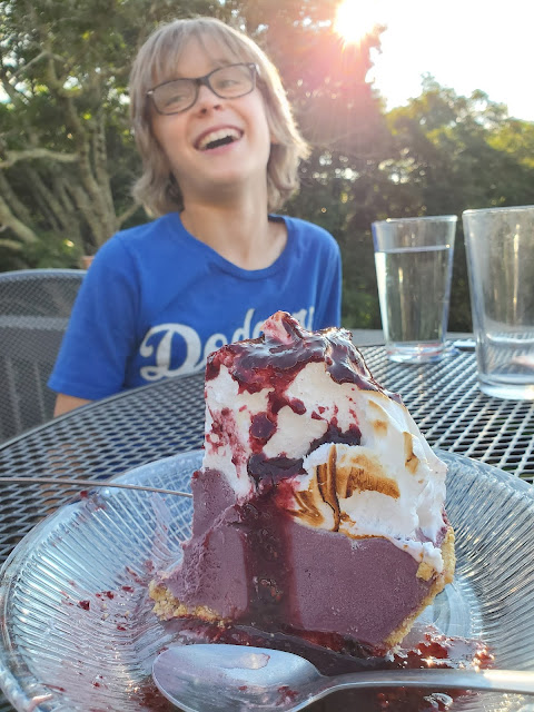
We made it back early enough to secure a table for dinner on the terrace at Big Meadow Lodge, which was just an incredible place for a meal -- much better than the limited take-out options at Skyland.
 |
| I highly recommend the blackberry ice cream pie |


No comments:
Post a Comment