For this hike, I returned to the same trailhead along Picnic Area Road that I used when hiking the
Interloken - Burnt Hill Loop back in November. Today I set out in the opposite direction along the Interloken Trail, planning to use Searsburg Road as a turnaround point 3.9 miles to the north. I was considering exploring some of the Forest Service trails on the way back to make small loops, but conditions proved more challenging than they appeared, so I mostly stuck to the Interloken Trail on the return, as well, except a slight deviation to walk around the other side of tiny Foster Pond.
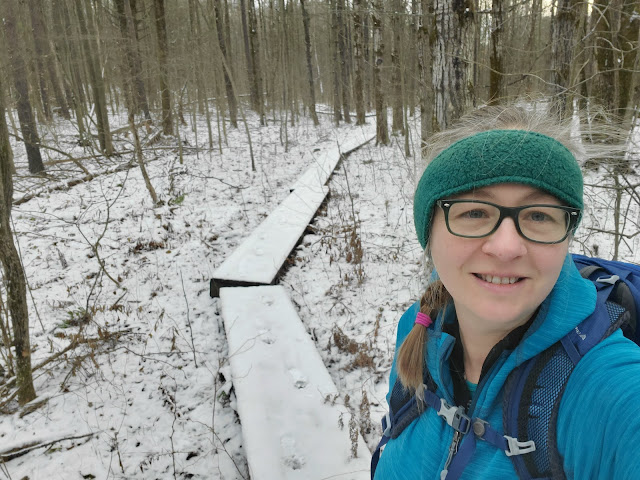
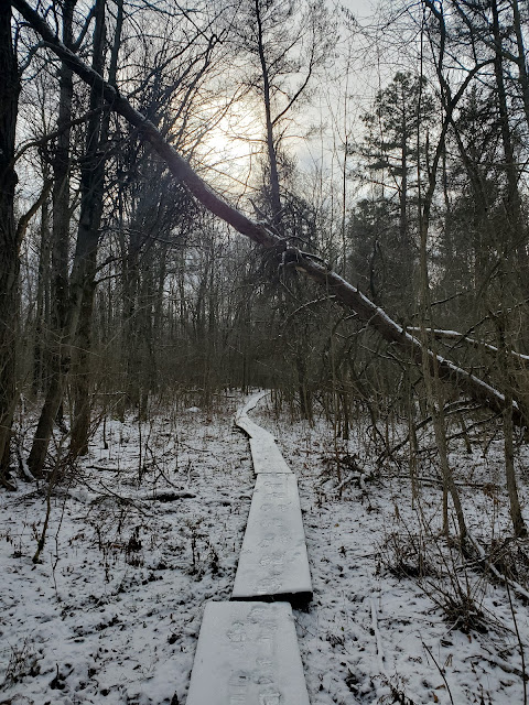
With the ground covered by a thin layer of snow, I was hoping the mud would be frozen solid, allowing me to just clomp across it. This did not turn out to be the case. Some of the mud was frozen, but some was not. There was ice covering the standing water within the trail, but some of it was thin enough to break through when crossed. There was also abundant needle ice, which collapsed under my feet, sinking me up to two inches with each step. And all these obstacles were fully obscured by fallen leaves covered with snow. Every step was a fun surprise; only the scattered boardwalks provided relief.
 |
I'm eager to ski, too, but this seems overly optimistic
|
 |
one of the many intersections with Forest Service trails
|
 |
Foster Pond
|
 |
approaching Searsburg Road, my turnaround point
|
 |
looking west at the Searsburg Road crossing
|
 |
looking east at the Searsburg Road crossing
|
 |
looking south on the Interloken Trail -- my return route
|
When I got back to the Foster Pond area, I diverted east onto the Backbone Trail to see the other side of the pond. I was on the Backbone Trail for perhaps 0.2 mile before turning south again on the Potomac Foster Pond Trail, which leads back to the Interloken Trail.
 |
looking back at the turn from the Backbone Trail to Potomac Foster Pond Trail
|
 |
approaching Picnic Area Road
|
 |
I encountered four mountain bikers despite the signs saying no biking
|
 |
looking back at the trailhead from the parking area
|
GaiaGPS tracked this hike at 7.99 miles, but there was an odd glitch on the return hike where it mapped me leaving the trail and bushwacking considerably east of my actual route. The portion of the route tracked in error is crossed off in the map below. The error was with the phone and not the app, because I was also running MapMyRide and it showed the exact same false route. I noticed this oddity in real time and was *definitely* still on the trail at the time, not crashing through the forest -- as illustrated in these photos, the trail is very well defined here. The mileage of 3.9 miles each way came from the FLT Branch Trails Tracking Spreadsheet so should be accurate. Only one more hike to finish the Interloken Trail and FLT Map Sheet I1!


No comments:
Post a Comment