
For this hike, I returned to Schuyler County to continue exploring the Finger Lakes National Forest (FLNF). There is an extensive network of trails winding through the FLNF, including the main branch of the Finger Lakes Trail (FLT; Map M15); the Interloken Trail, an FLT branch trail (Map I1); and various Forest Service trails. Given my vast appreciation for both the FLT and the Forest Service, I have decided I want to hike the entire Interloken Trail, making use of other short trails to hike loops where available. Today I started at the FLT trailhead on Logan Road that was my turnaround point on last week's hike. Last week I arrived here from the west; today I would hike east.
I am including the GaiaGPS map right up front here because the hike included many turns and intersections, and was actually comprised of two loops with three out-and-back spurs... kind of difficult to explain.

 |
| FLT emerging onto Logan Road from the west, hiked last week |
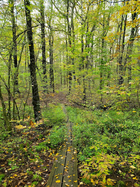
 |
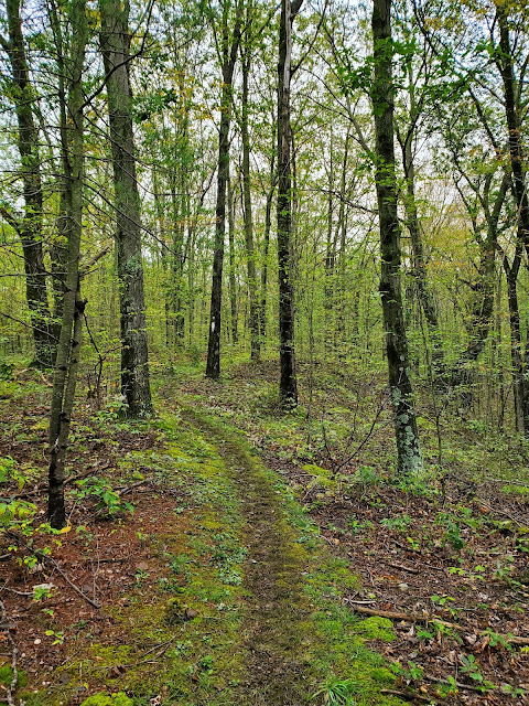
| FLT leaving Logan Road heading east, hiked today |

The trail ascends steadily but gently along a nice stream for about 3/4 mile before passing the junction with the Southslope Trail, on which I would be returning. Shortly past this intersection, the FLT crosses the stream on a small footbridge and continues climbing gently, eventually crossing another stream on a slightly bigger bridge before reaching Burnt Hill Road.


 |
| looking back at the FLT emerging onto Burnt Hill Road from the west |
 |
| the FLT continuing east across Burnt Hill Road |

After crossing Burnt Hill Road, I passed two trail junctions in short order, first with the Interloken Trail and then a spur to a shelter. I passed them both to focus on this next out-and-back segment of the hike, but hit them both on the way back. For now, I would stick to the main FLT until I got to Burnt Hill Road again.


 |
| muddy parking lot at the southern Burnt Hill Road crossing |
 |
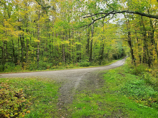
| looking south along Burnt Hill Road, which the FLT follows in a roadwalk down to South Hill Road |
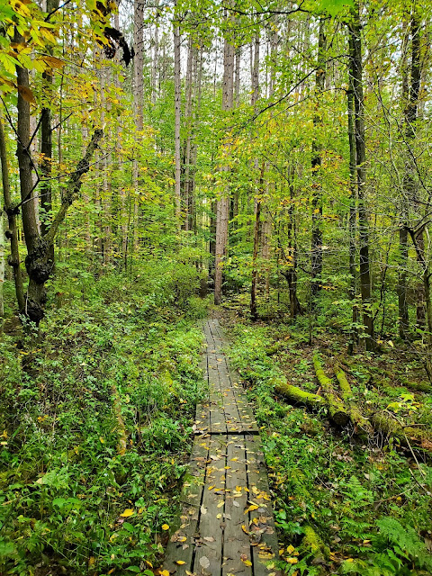
I turned around at the southern Burnt Hill Road crossing and re-traced my steps back westward along the main FLT until I got to the junction with the spur trail out to the shelter, which I detoured to check out. It is not the typical lean-to I usually see along the FLT or in the Adirondacks, but a different style altogether so was interesting to see.


Curiosity satisfied, I went back westward along the main FLT, again passing the intersection with the Interloken Trail. I had considered turning right on this and starting my hike north along the Interloken Trail from this intersection. However, that would orphan the first 0.1 mile segment of the Interloken Trail from where it starts on Burnt Hill Road, and that simply wouldn't do. So I continued west until I got back to the northern FLT crossing of Burnt Hill Road, then turned left and walked a short distance south along the road.
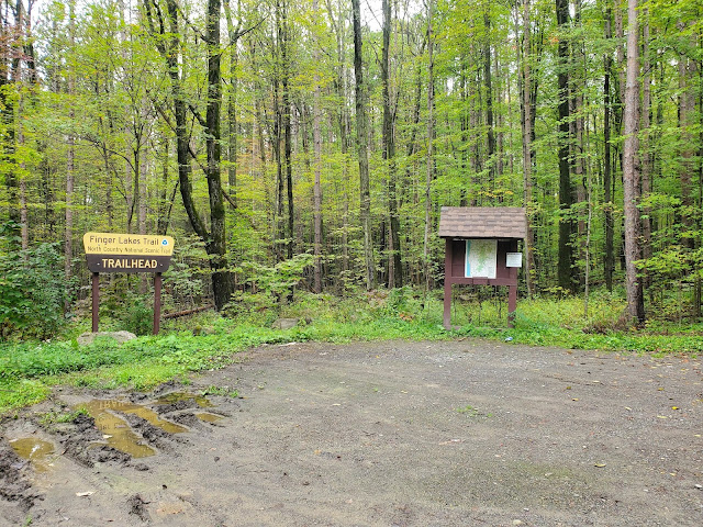
There is another muddy parking lot equidistant between the FLT trail crossing and the Interloken trailhead, which I actually walked slightly past to get the picture below of the Forest Service sign. It makes me so happy to see these again; it's been 20 years since I worked for the Forest Service, but I still love it. Photo snapped, I started my section hike of the Interloken Trail at the southern terminus.

 |
| back at the intersection with the main FLT |


I only hiked a mile or so north on the Interloken Trail, passing the junction with the Southslope Trail, before reaching my planned turnaround point. Just past a small wildlife pond, the trail arrives at two separate parking areas, both located on Burnt Hill Road in close proximity to one another. I wonder if the larger parking area in the photo above is for horse trailer parking/access? Only the smaller of the two lots, shown in the photo below, is labeled on the FLT mapping. The FLNF embraces multiple uses, and many of their trails are open to horseback riding and mountain biking as well as hiking (and the trails show it). This smaller hiker lot was my turnaround point.
 |
| the Interloken Trail, continuing north -- I'll be back to hike this section another day |
 |
| looking back south on the Interloken Trail from the turnaround point |


When I reached the junction with the Southslope Trail, I turned right. This is a Forest Service trail, non-FLT, but is conveniently located to make a good connector trail between the FLT and the Interloken Trail. It wraps around another small wildlife pond before crossing Burnt Hill Road, where there is yet another parking area. Confused yet? I am! I passed five different trailhead parking areas all on Burnt Hill Road.

 |
| another parking area on Burnt Hill Road |

Soon I was back to the main FLT, at the first intersection I passed today, with only a short downhill stretch back to my car on Logan Road. In this section, I passed an older couple hiking uphill, the only other people I saw all day.


GaiaGPS tracked this hike as 7.0 miles with approximately 1,050 feet elevation gain. I did not get rained on, but it was a very soggy day in the forest and the trails were very muddy in places. I am excited to come back and explore more of the FLNF.
No comments:
Post a Comment