Sawteeth
4,100 feet | ranked 35/46 in height | 25th peak climbed
Knowing we would be driving to the trailhead that morning, and hence not arriving super early, Erin and I were even more worried than normal about finding available parking. Hiking on holiday weekends is oft-espoused as something to be avoided, and while I can certainly understand that perspective, our opportunities are few enough that we have to seize them when they come, holiday or no. We decided we'd have the best chance of finding parking at the AuSable Club trailhead, and Sawteeth has been on the short list for a long time. I'd wanted to hike the Scenic Trail specifically since hiking a loop of the East and West River Trails in 2008, when I first saw the mountain's profile with the jagged teeth to clamber over. Erin and I had even set a date to hike it in 2011, but in a case of very bad timing, were derailed by the destruction of Hurricane Irene.
We got one of the last spots in the lot, and after donning our boots, set off along the familiar dirt road through the golf course. The Lake Road passed quickly enough and we were soon crossing the bridge over the AuSable. We joked at the junction of the Weld Trail,
why would we go that way when we can take this much longer and harder approach? And off we went...
I had read that the lower part of the Scenic Trail, which parallels the lake for awhile before steeply ascending, was quite rugged, but I didn't find it particularly troublesome. The trail seemed little used and poorly marked, with multiple foot paths diverging and reconvening, but again, nothing too challenging. Once we started the real climbing, it did become more difficult, of course, but the many overlooks forced frequent photos breaks. The views of
Lower AuSable Lake with the Colvin ridge rising steeply behind were truly magnificent.
We read pretty obsessively about these hikes before we set out, so that we have an idea what to expect out there. Everything thus far on this hike had been as expected. So when we came to another sign post, with Marble Point painted in the same style as the numbered scenic view signs, we happily turned down the side trail expecting another viewpoint. Except this path was long. We kept seeing air through the trees and thinking we were almost there, only to have the trail twist around another boulder and continue winding along. It just kept going and going. Finally, we stopped to consult the map. When we saw that the Marble Point side trail wasn't depicted, we decided it would be best to return to the marked trail and continue our ascent.
The Marble Point diversion was pretty demoralizing for me, to be honest. None of the trip reports or guides we'd read had mentioned Marble Point. I am a planner, and this wasn't planned for. And there was no pay off, no views. By the time we got back to the main trail and started picking our way back up the steep ascent, we were getting hungry. I am always prone to the faulty logic of wanting to eat lunch on the summit, even when it might be in my best interest to have a caloric boost in support of the final climb. In this case it was hard not to grumble to myself about how we'd be munching away on the summit by now if we hadn't wasted all that time on the side trail to nowhere. Grumble, grumble.
We made the summit with no further incidents, and greatly enjoyed the close-up views of the Great Range. It was amazing! There were a handful of other people there, which made it a bit crowded, since there is only a very small clearing at the top. All the other hikers that day had come up the easier Weld Trail. Some left to descend via the Scenic Trail, while others were adding Sawteeth as a spur onto longer hikes that included Pyramid and Gothics, etc. We were considering that option, too, and had signed into the register with additional summits as possibilities in parentheses. However, taking the Scenic Trail was our priority for the day. When we got down to the junction of the Weld Trail, we stopped and chatted with another group of hikers, and then decided to head down. We didn't want to risk the super late arrival home we'd experienced after hiking of Colvin and Blake.
The Weld Trail was a piece of cake after the rugged Scenic Trail. The grade was easy, no scrambling, and we just motored right down. Beautiful moss along a creek crossing, lovely firs and birches... we were in fine spirits. Rainbow Falls was beautiful, as expected. I will confess that after the debacle with the Marble Point trail to no where, we did not take the spur trail to the base of the falls. We simply were not in the mood for exploring any more trails of indeterminate length on this day. You have to know your limits -- and they're not always physical. Obviously this trail is on the list for a future visit: we'll just hit it up when we return to check out Pyramid. I'm smiling now just thinking about it!
Read Erin's trip report
here.
 |
| Crossing the AuSable |
 |
| Scenic Trail markers |
 |
| There's a reason it's called the Scenic Trail |
 |
| At one of the many overlooks |
 |
| One of five numbered lookout signs along the climb |
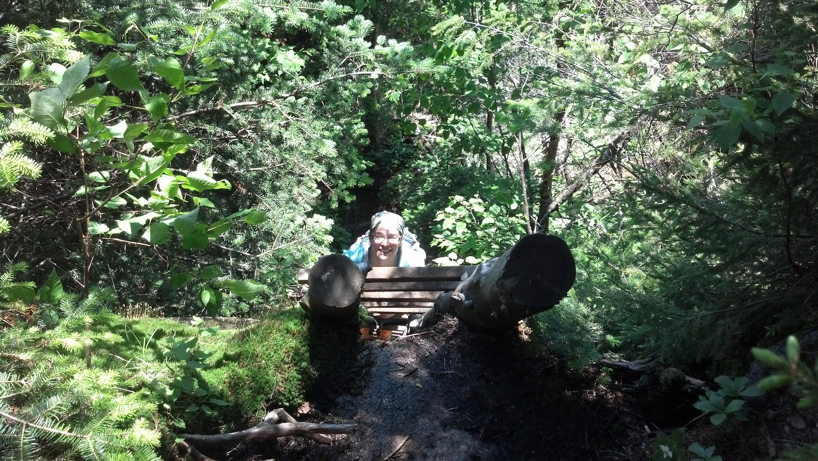 |
| Halfway up one of the ladders on the Scenic Trail |
 |
| Happy at the summit! |
 |
| View of Basin, Saddleback, and Gothics |
 |
| Zoomed in view of Saddleback, Gothics, and Pyramid |
 |
| The junction sign is essentially right AT the summit |
 |
| The summit is small, but the view is breathtaking |
 |
| Taking a break at Rainbow Falls |
 |
| Don't be a dropout! |
 |
| Rainbow Falls |


No comments:
Post a Comment