
I started this hike from the SUNY Cortland McDermott Nature Trail parking area, off Hoxie Gorge Road. There is an official Finger Lakes Trail (FLT) access spur that I followed to connect to the main trail near where Frankie and I turned back when hiking the adjacent section over the summer. When I hit the main trail, it looked unfamiliar, and I realized Frankie and I hadn't come quite this far south, so I decided to make a short diversion to find my previous turnaround spot. I traveled north just a tenth of a mile before I came to the spot I recognized, a second intersection marked with the yellow blazes from SUNY Cortland, and the specific stretch of stream where we hung out playing (pool, rocks, three fallen logs, just so - check). Satisfied, I went back to the main intersection, and continued my hike southward. I ran into two friendly hunters before crossing Hoxie Gorge Freetown Road, out looking for grouse and woodcock. They praised me for wearing orange.
I really shouldn't have been out there at all. Not because of the hunters, although that time is coming soon enough; once rifle season opens for big game next month, I'll be avoiding the wildlife management areas and state forests like the plague. However, for now, it's only bow season and small game, and I don't worry about that as much. I shouldn't have been out there because I am sick. Ugh. It's just a cold, I told myself. Except I'm getting old, and colds seem to effect me worse than they used to. I get so ache-y now, everything hurts all over. I probably should have been in bed, but I have such limited opportunities for solo hiking. And it is so good for me, the best form of self-care... I just couldn't make myself stay home.
I decided I would do a shorter hike, and picked 10:30 am as a turnaround time. This of course got pushed back a bit because there were no distinct landmarks visible at the designated hour. Because I wanted to be able to hike the next section without too much confusion, I decided to keep hiking until I reached something I'd be sure to recognize on my return trip. Finally I came to a skid trail at the edge of a timber harvest that seemed distinct, and turned back, retracing my steps the way I came (except for the short detour back to the north). Roundtrip, the hike ended up being 6.9 miles with about 950 feet elevation gain. Not a particularly restful day. Of course, I'm not really a resting kind of person. It was a gorgeous day, and I'm glad I went, even if it was more challenging than normal. Hike on!
 |
| trailhead sign |


 |
| this sign initially confused me, but then I figured out it is old and this re-route is illustrated on my maps |

 |
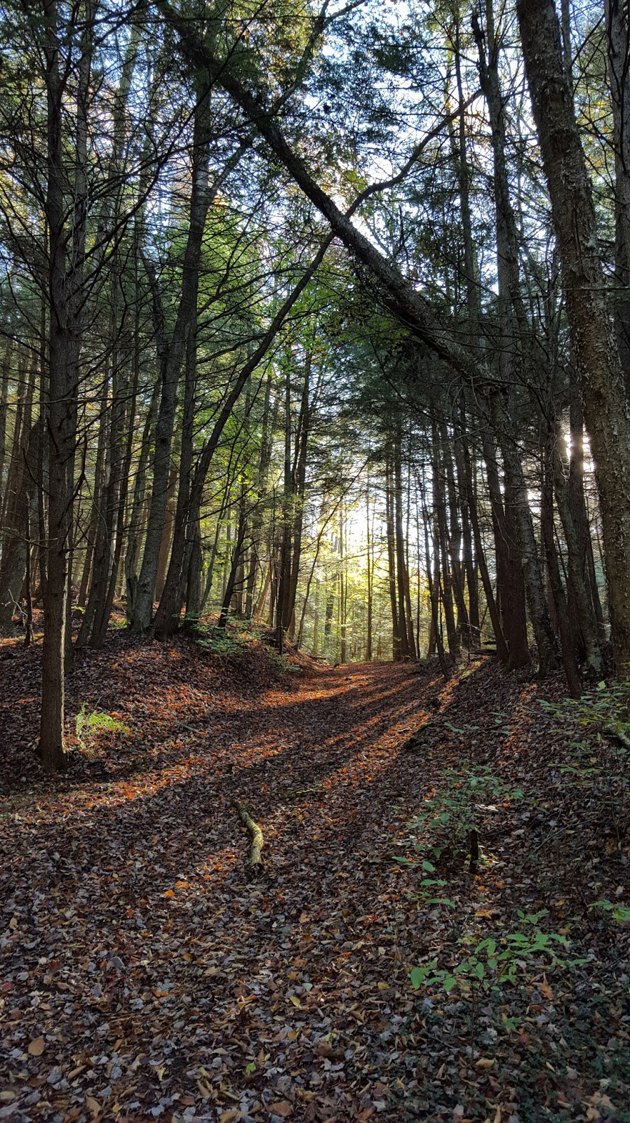
| the FLT is blazed white end to end, even where it carries the North Country National Scenic Trail (NCT) |

 |
| Hoxie Gorge Freetown Road |


 |
| skid trail crossing at turnaroud point |
 |
| timber harvesting at turnaround point |


 |
| blue-blazed access trail |
No comments:
Post a Comment