
It has become my custom to use hunting season to complete roadwalks in my section hiking of the Finger Lakes Trail (FLT). The gaps I went after today are big ones, not in distance, but in significance... because I have now hiked every single foot of the North Country National Scenic Trail between the two green marks on the map below, from partway through Danby State Forest in the southwest corner, to the end of the Erie Canal section in the outskirts of Rome, in the northeast corner. So even though it was cold and rainy, it was an exciting day for me!

Willow Crossing Road > Purvis Road > Star Stanton Hill Road
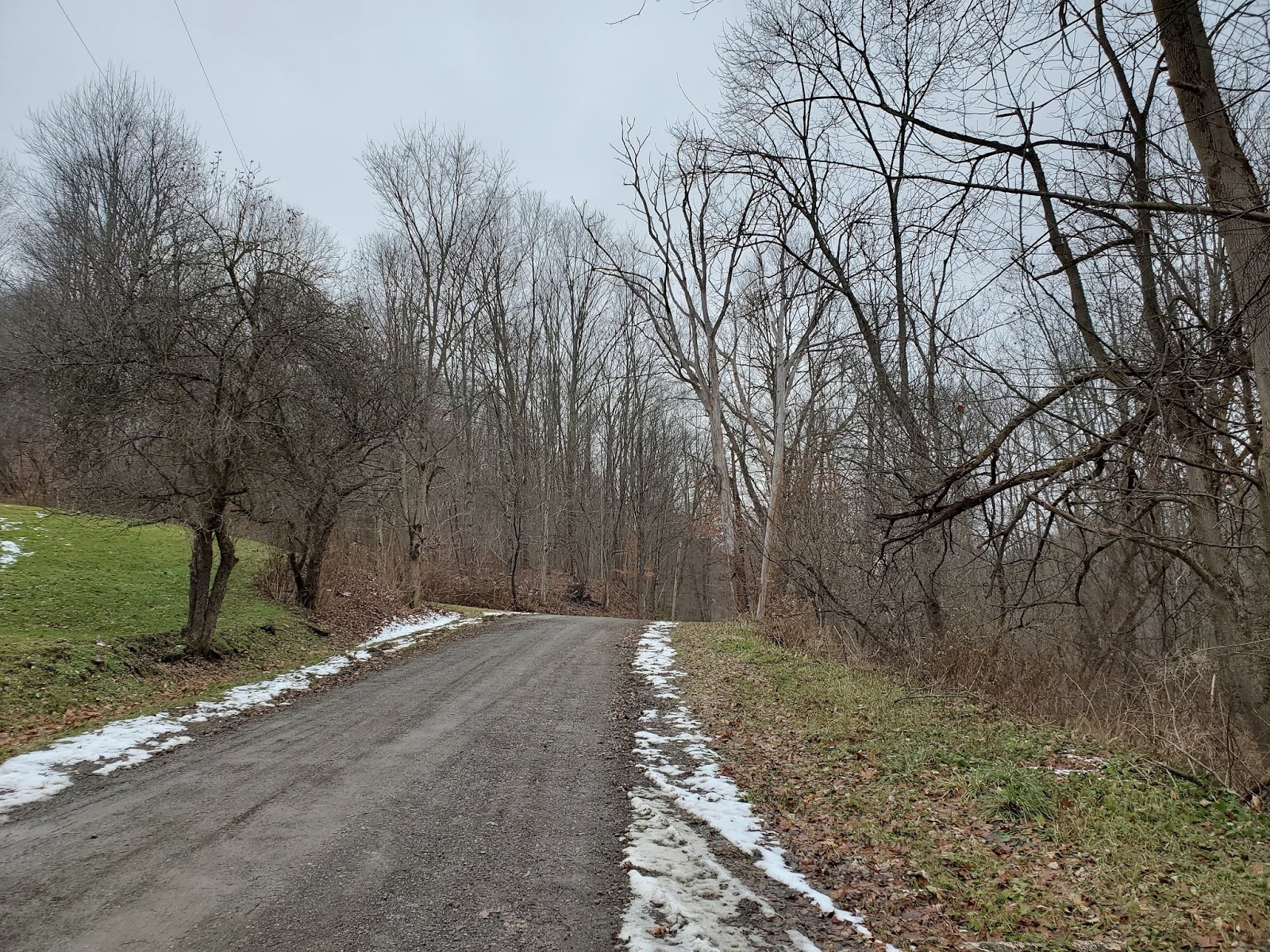
I started this hike at the trailhead for the Jim Schug Trail, where I had parked on a hike last fall. I set out west along Willow Crossing Road, which I followed around a bend before turning left onto Purvis Road. I took Purvis Road west through foggy fields (cover image), then crossed NY Route 38 kitty-corner to get onto Star Stanton Hill Road. The lower part of this road is paved, but as it climbs and passes the last house, it transitions to dirt. I turned around at the large clearing where I had parked when I hiked the Hammond Hill State Forest section; it was foggy then, too. Then back to my car and onto the next stop.


 |
| MapMyRide tracked this at 2.9 miles roundtrip with 400 feet elevation gain |
My hike that started at Willow Crossing Road last fall was meant to use Daisy Hollow Road as a turnaround point, but high water levels in Rowland Creek prevented me from crossing and I had to turn back within sight of Daisy Hollow Road. This gap was making me crazy! It was probably only 100 feet or less of untraversed trail, but I was driving by anyway, so I stopped and traversed it. Phew!

 |
| Daisy Hollow Road |

 |
| the infernal Rowland Creek |

Tone Road > NY Route 392 > Carson Road
I parked my car at the small lot at the end of Tone Road, where I had stared my hike of the Virgil Mountain Loop. I walked north on Tone Road, past some ski lift infrastructure from Greek Peak, then turned left onto Route 392, and right again onto Carson Road. I then followed Carson Road east, climbing up out of the valley until I reached the trailhead for the Tuller Hill State Forest section, which I had snowshoed in February 2018.
 |
| FLT headed up into Kennedy State Forest |


 |
| FLT headed into Tuller Hill State Forest |


 |
| MapMyRide tracked this outing at 3.5 miles roundtrip with 480 feet elevation gain |
No comments:
Post a Comment