The section of the Finger Lakes Trail (FLT) that crosses Kennedy State Forest has many different spur trails that can be linked up with the main branch to make loops of various lengths. The Virgil Mountain Loop can be hiked as a simple circuit, using parking on O'Dell Road, but I didn't want to orphan the section of FLT east of the loop, so I parked at the trailhead at Tone Road. This made for a lollipop loop, where I hiked the stick/stem section connecting Tone Road and the loop twice, on the way in and out, then the main loop in a counter-clockwise direction. The total hike was 7.8 miles with over 1,400 feet elevation gain; more than 700 feet of that climbing occurs in the first mile ascending Virgil Mountain. This is the highpoint of Cortland County.
My progress over that first mile was excruciatingly slow. A lingering cold and my general fitness levels would have made slow through this section regardless, but the wildflower situation had me over the moon. There is so much going on out there this time of year! Plus, I haven't been out much yet this spring and was seeing many of these species for the first time this year. And the density of wildflowers in that first mile is unbelievable. I have never in my life seen so much squirrel corn and Dutchman's breeches (
Dicentra canadensis and
cucullaria, respectively). I was so happy looking at plants, that for a while, it seemed like I might not even bother completing the hike. The rate of new species diminished after a while, though, such that I was no longer stopping to squat and peer at vegetation every few feet.
 |
| wild oats (Uvularia sessilifolia) |
 |
| blue cohosh (Caulophyllum thalictroides) |
 |
| dwarf ginseng (Panax trifolius) |
 |
| Canada violet (Viola canadensis) |
 |
| trout lily (Erythronium americanum) |
 |
| sharp-lobed hepatica (Hepatica acutiloba) |
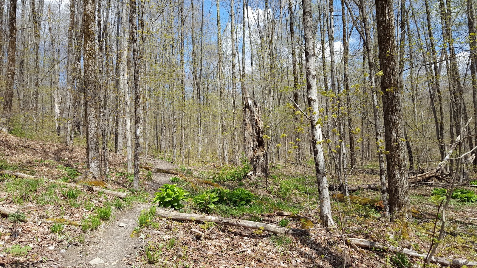
As the grade started to lessen, the trail crossed a forest road, then turned northwest. Atop the hill is a broad plateau that appears to have been logged a few years ago, such that the trail is a narrow tunnel through thick brambles. There must be great berry picking up here in the summer.
 |
| crossing a forest road at the crest of the steep climb |
The trail then empties onto a large powerline, and turns north, following the cleared right-of-way for 0.2 miles before turning west into the woods again. Shortly thereafter, the trail passes right by a USGS benchmark, indicating the summit of Virgil Mountain.
 |
| view east-northeast from the powerline |
Over the next mile, the FLT meanders past a trail register and the top of a ski lift for Greek Peak, then crosses Von Donsel Road.
Finally, after 3.4 miles, the trail emerges onto O'Dell Road. I had originally planned on hiking just 0.2 miles more, down to where the FLT leaves the road and re-enters the woods, to scout parking for my next outing, and then returning the way I came. However, curiosity got the best of me, so I decided if I had phone reception, I would take the loop instead of the planned out-and-back. My text to Erwin successfully sent, so I continued forward along the main FLT.
 |
| looking north up O'Dell Road |
 |
| coltsfoot (Tussilago farfara) |
At the "four corners" junction of the main branch FLT, the Virgil Mountain Loop, and the Dabes Diversion Loop, I turned left, swapping out whites blazes for orange. Shortly afterwards I stopped briefly to eat a sandwich, enhanced by a few trout lily leaves I gathered along the last half mile. I didn't enjoy my break in the slightest, as the black flies that had been swarming all morning suddenly turned vicious. I sustained many bites and set off again as soon as I could shove the sandwich down.
 |
| adding some greenery to my boring turkey sandwich (harvested very gradually to minimize impacts) |
 |
| long-spurred violet (Viola rostrata) |
 |
| hobblebush (Viburnum lantanoides) |
The Virgil Mountain Loop trail runs pretty much due east, following old forest roads and property lines. The old stone walls and homestead add some interest to a long, straight climb. Then the trail re-joins the power line, and follows the right-of-way north for 0.5 mile before re-joining the main branch of the FLT. Kind of strange seeing trail blazes on transmission structures...
From here it was all downhill, back through the blackberry tunnel, then down, down, down all the way back to Tone Road.
 |
| squirrel corn |
 |
| Dutchman's breeches |
 |
| the name Smetana Glen amused me because smetana means sour cream in Russian |
Note: The North Country National Scenic Trail (NCT) follows the main branch of
the FLT through this area, so I am counting 5.4 miles of this hike
toward the NCT 100 Challenge for 2018.


No comments:
Post a Comment