
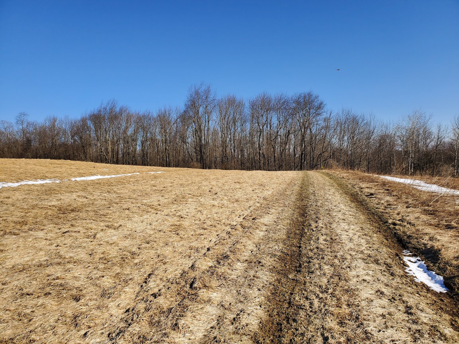
This hike represents another link in the chain, another new section of Finger Lakes Trail (FLT) and North Country National Scenic Trail (NCT) explored. So as not to leave a gap, my goal for this hike was to hike back into my turnaround point on my last FLT/NCT hike, when I'd had to turn back prematurely due to time issues, then continue westward into new territory. It was a gorgeous gift of a day, with blue sky for miles. I parked at the trail crossing on Blackman Hill Road, and set out to the north, following a thin hedgerow across a wide sweeping field.

At the far side of the field, the trail jogs, then enters the woods, initially following muddy logging roads and then turning off onto a narrow section practically invisible from the lack of foot traffic.


I soon reach the distinct sign that had been my turnaround point on my last hike in the area, then re-traced my steps back to Blackman Hill Road.

 |
| sharp-lobed hepatica (Hepatica acutiloba) in bud |
 |
| puffballs |

I crossed the road, passing my car, and entered the woods on the south side, following the white blazes of the FLT. Eventually I came to an active timber management area, which I was expecting due to my unsuccessful foray in the area last month looking for parking. The logs were piled up, but no one was working today. I was the only one in the forest.


 |
| landing site along Level Green Road |
 |
| Level Green Road |


After back-tracking to my previous turnaround point, I knew I wouldn't have enough time to make it all the way to the next road crossing. As the minutes ticked down and I knew I'd have to turn back soon, I started scouting for a distinctive place that I'd be able to easily re-locate next time out. I decided this stream crossing would do the trick nicely, and headed back up the muddy trail back toward my car.


 |
| Carolina spring beauty (Claytonia caroliniana) in bud |


Then I continued on my way, stopping again only to sign the trail register, which was in a lovely box carved with a bat (my photo doesn't do it justice, but clicking the photo expands it, rendering the bat practically visible).


MapMyRide tracked this hike at 6.6 miles with about 650 feet elevation gain. It was a perfect day in the woods.
No comments:
Post a Comment