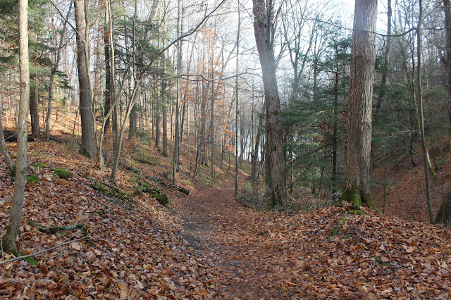
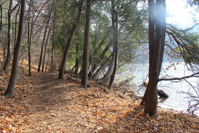
The trail system is a bit strange, with no way to hike the entire length of some trails without repeating certain sections. It is not uncommon to be hiking along and come to a Y-intersection where both directions are blazed the same color as the trail you are already on. It makes it hard to plan for a hike when the mapped distances are almost meaningless. I don't mean to imply that the distances provided on the park map are incorrect; rather that, with a few exceptions, the trails cannot be hiked individually as mapped -- in most cases, one must walk an unknown distance along part of a different trail first. I guess I'd like to see the mileage broken out into more meaningful, boots-on-the-ground sections. I got spoiled hiking on the North Country National Scenic Trail so much this year!
Since knowing what to expect is crucial when hiking with kids, I don't go to Green Lakes all that often. Plus, I'm not a fan of the crowds along the Green Lake Trail (not to mention the beach area). I haven't been there since last summer, when Frankie and I checked out the western trail head for the first time. That day was hot, and we roasted out there in the sun. The exposure in the grasslands was way too much, so we only hiked the 2.5-mile Deer Run Trail. But today was cool, upper 40s, with partly cloudy skies. I decided to go back and check out some of the trails we missed. I can be way more flexible about indeterminate lengths when hiking solo.
My goal for today was to make a long loop that included some new (to me) trails as well as Round Lake, while avoiding repeated trail sections where possible and the busiest trail around Green Lake. I managed to string together a series of three connected loops totaling 8.2 miles with approximately 860 feet of elevation gain (according to my phone). Not too shabby! This was both my longest hike ever at Green Lakes and my longest hike ever on a school day. I hiked portions of the following trails, starting and ending at the western trail head on Route 290: Deer Run > Overlook > Black > Overlook > Farmers Hill > Power Line > Old Growth > Brookside > Round Lake > Brookside > Old Growth > Rolling Hills > Farmers Hill > Overlook > Deer Run. Although the same names recur quite a bit in that list, I only repeated two small sections that totaled less than half a mile, and skipped sections on every trail except Round Lake Trail (the only one I completed).
I was really surprised at just how big the western part of the park is! Those grasslands are really extensive. With it being a week day and sticking to less popular trails, I hoped I might have the trails more or less to myself, but no such luck. There were still a lot of people; I lost count of how many parties I saw, probably 20 or more. This caused me some discomfort in the latter part of the hike -- with the leaves down and the woods swarming, finding a private place to recycle my morning tea was a real challenge. It truly is beautiful here, so I understand why visitors flock. I'm really happy to have explored some new trails, and I will return another cool day to check out the Vista and Indian Oven Trails, which I still haven't been on. But I will also be happy when hunting season is done for the year.
 |
| common milkweed (Asclepias syriaca) |
 |
| gray dogwood (Cornus racemosa) |
 |
| Canada waterleaf (Hydrophyllum canadense) |
 |
| Round Lake |


No comments:
Post a Comment