The Onondaga Trail is part of the Finger Lakes Trail (FLT) system, a 42-mile branch trail. The North Country National Scenic Trail (NCT) follows the entire length of the Onondaga Trail from end to end, and I hiked most of it this year while pursing the Hike 100 Challenge. My original intent was to only hike the off-road portions, and I completed those in October. However, when I realized there were just 3.5 miles of the roadwalks remaining, I knew I'd end up completing them at some point; leaving them undone would just drive me crazy. A rainy day during hunting season provided the perfect opportunity for me to hopscotch around and knock off the three short roadwalks.
Route 13
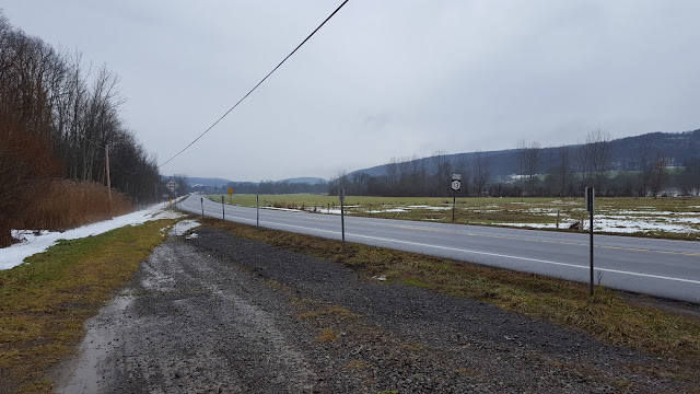
I started this section at the parking area where we dropped a car when Erwin and I hiked a traverse through Maxon Creek State Forest. I hiked southwest to the NYSDEC fishing access for Tioghnioga River, where I started my out-and-back hike to Chickadee Hollow Road in Morgan Hill State Forest. This was 1.3 miles each way, for a total of 2.6 miles. Route 13 is state highway with high speed traffic, making this my least favorite stretch of the entire Onondaga Trail.
 |
| in the two months since I parked here, the fishing access sign disappeared |
Bardeen Road and Cowles Settlement Road
I started the next of the roadwalks at the NYSDEC fishing access lot on Bardeen Road where Erwin and I dropped a car last month when we hiked the traverse through Morgan Hill State Forest starting at Shackham Pond. I hiked east on Bardeen Road through the flat river valley, then crossed Vincent Corners Road and continued up the hill to the small parking area on Cowles Settlement Road where we started our traverse through Highland Forest. This was 1.4 miles each way, for a total of 2.8 miles. These roads see very little traffic and comprised the most pleasant walking of the road sections I covered today, especially the forested portion of Cowles Settlement Road.
Dam Road and East Lake Road
I started the last of the three roadwalks at the small parking area on Dam Road where Erwin and I dropped a vehicle when we hiked our traverse of Highland Forest. I hiked east crossing the dam, then turned south on East Lake Road until I got to the parking lot where I started my out-and-back hike at DeRuyter State Forest. This was 0.8 miles each way, for a total of 1.6 miles. The wind was fierce across DeRuyter Reservoir, but I saw a bald eagle.


No comments:
Post a Comment