I had another opportunity for an extended school day hike today, as my Dad was picking Frankie up from school and bringing him home at dinner time. I decided to explore another new section of the Finger Lakes Trail (FLT) down by Ithaca, which due to it's location west of Cuyler State Forest, also carries the North Country National Scenic Trail (NCT). I initially drove to the parking lot for the Stevenson Forest Preserve, where I had turned around on my last
hike in the area, thinking to continue from there, but the lot looked a bit sketchy for my little car. The next 1.9 miles of the FLT is a roadwalk, so I kept driving, looking for a better spot to park. I ended up on Griffin Road, where the trail turns south and leaves the road, and the road was wide enough I felt safe parking there. I could have walked back towards the snowed-in parking lot, but the call of the woods was too strong, and I orphaned the roadwalk. I can always come back for it during hunting season.
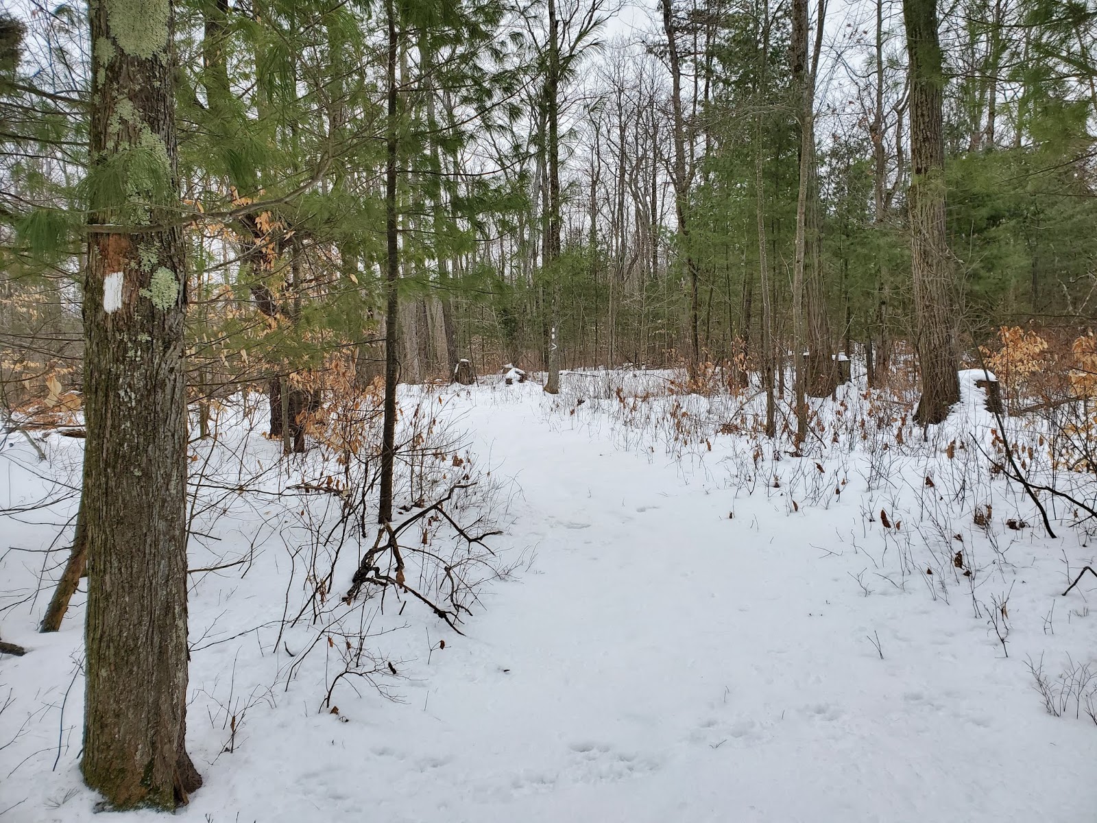
Conditions were not great for hiking. There was snow on the ground, but it wasn't deep enough for snowshoes, with intermittent patches of bare ground, especially under the hemlocks. There were tracks here and there, but not enough to break out a trail. Just enough to make things more challenging. Nevertheless, I persevered.
 |
| Cayutaville Road crossing |
 |
| crossing the driveway to the radio station |
 |
| second Tower Road crossing |
 |
| Connecticut Hill Road crossing |
 |
| red oak (Quercus rubra) |
 |
| red pine (Pinus resinosa) |
 |
| Boylan Road westbound |
I had been thinking I might make it all the way to the second crossing of Connecticut Hill Road before having to turn back, but the snow conditions were making things more difficult and wearing me out faster than expected. When I got to Cabin Road, turning back seemed prudent: I would still have to hike more than 5 miles back to my car.
 |
| looking east, from whence I came, from my turnaround point on Cabin Road |
 |
| Cabin Road, looking west |
 |
| heading east on Boylan Road |
 |
| WQNY-FM |
 |
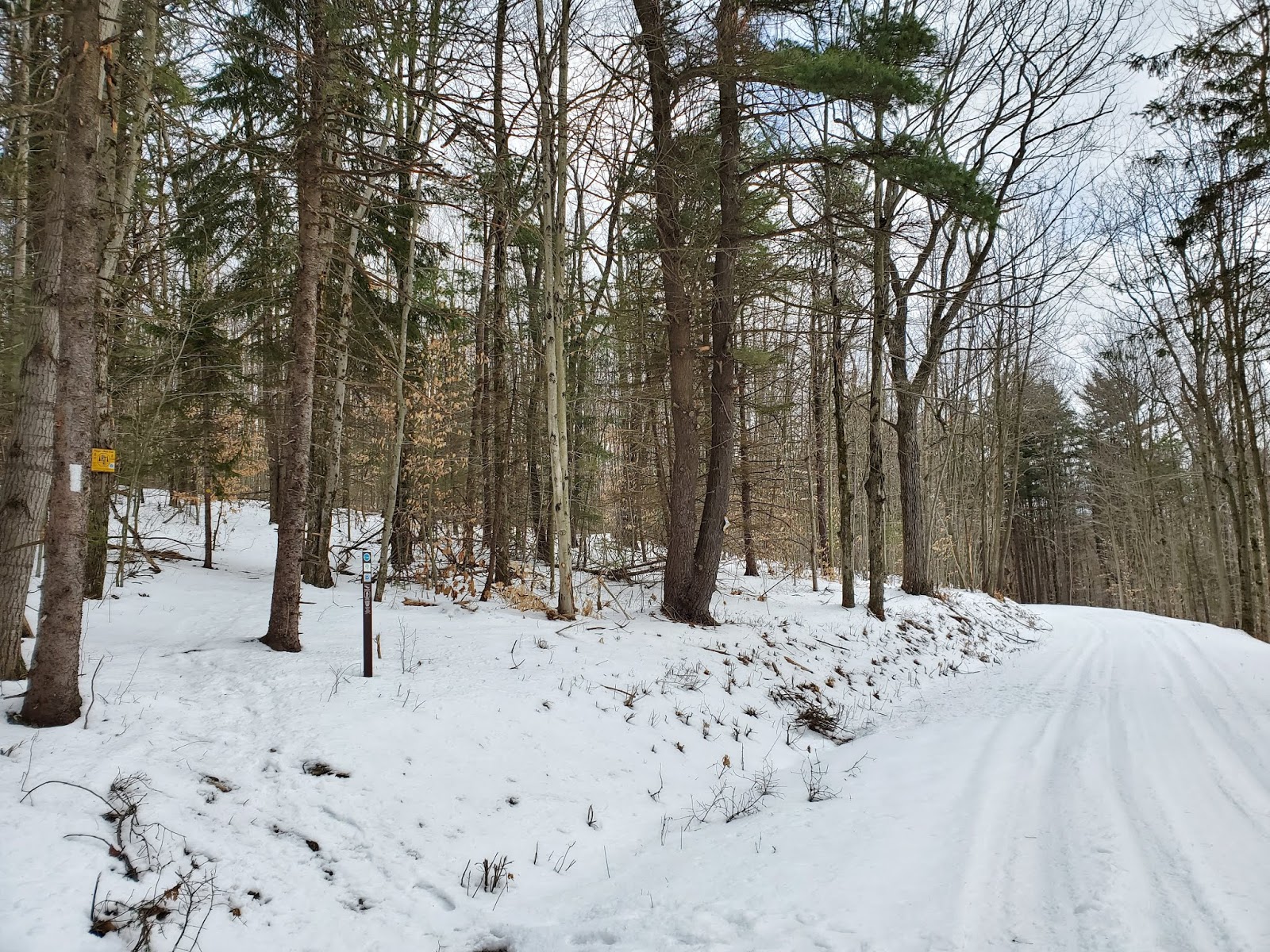
| looking north at the first Tower Road crossing |
MapMyRide tracked this hike at 10.6 miles with 1,175 feet elevation gain.


No comments:
Post a Comment