
For this hike, I started at the NYSDEC parking lot by the Otselic River, which I had scouted last week. I followed the Finger Lakes Trail (FLT) east, along and then above the river. It wasn't raining today, and temperatures were unseasonably warm. The sun even came out eventually!


The trail descends the east side of Truman Hill at a gentle grade along an old stone wall, then turns south, following an old logging road above a swampy conifer plantation. The trail then turns east again to cross the wet woods. This crossing may not last much longer; beaver are very active in this area and this section of trail is at risk of even more extensive flooding.


After leaving the beaver pond behind, the FLT climbs again, approaching and then moving away from the gravel road and then crossing a short stretch of private property. This section had my hackles on edge a bit, as the trail markers led past a gate with posted signs and followed the private road down the hill. There were cameras set up at the point where a driveway intersected the road and the house was clearly visible, but the FLT markers diverged south, and I was relieved to be back on single track and re-enter state forest lands. I am deeply grateful to the landowners who allow trail users to cross their lands, but am still uncomfortable passing posted signs.

The FLT keeps climbing, and after passing another stone wall, crests a taller, unnamed hill, then dips down again and crosses another (the same?) gravel road, this time labeled Partridge Hill Road. From here the trail follows a property line due east, then turns 90 degrees and continues south.


At this point, since I was running short on time before school pick up and knew I wouldn't be able to reach the next road crossing, I started looking for a distinctive turnaround point. When I came to an old logging road running east-west down a steep slope, I knew I had my spot. It will be easy to recognize when I come back for the next section, and easy to confirm, since it is due east of what is labeled at Flanagan Road in street maps. Perfect! From here I simply retraced my route back to the car.
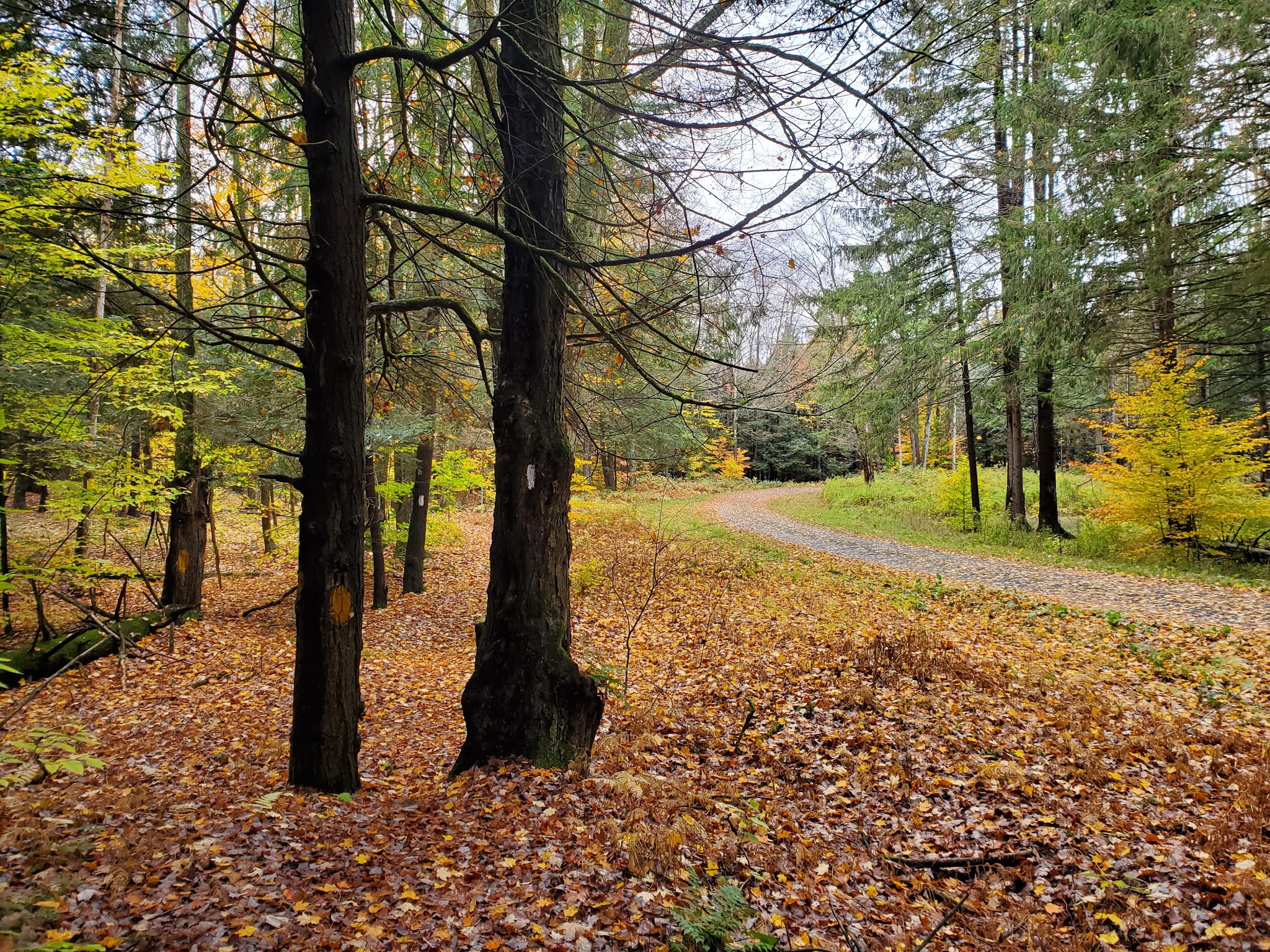
 |
| looking east down the old logging road (my turnaround point) |
 |
| looking west up the old logging road (my turnaround point) |


MapMyRide tracked this hike as 8.2 miles with over 1,000 feet of elevation gain. Although I was harassed by some strange biting flies I later determined to be deer keds, it was another glorious day in the woods. These solo hikes on the FLT are so good for my soul!!
No comments:
Post a Comment